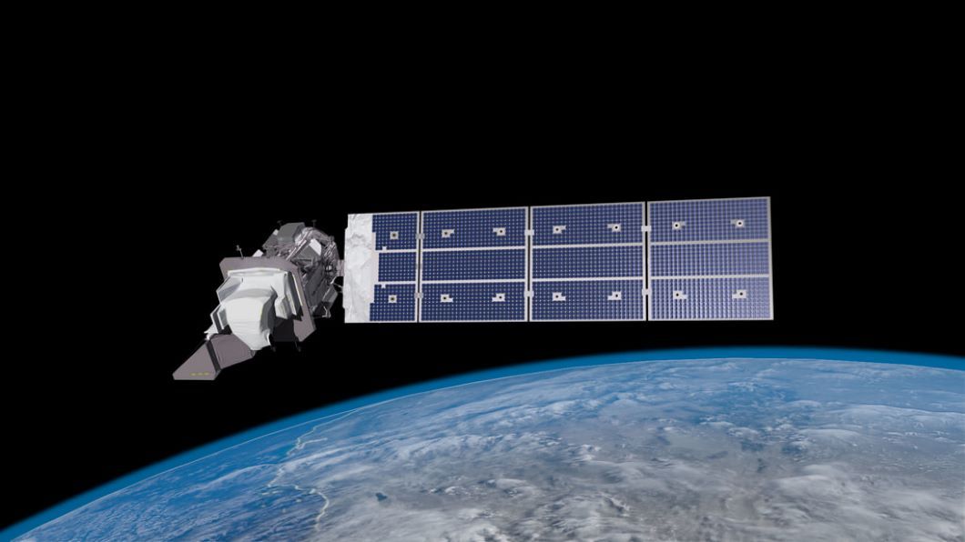
It carries a high-resolution camera and a sensitive infrared sensor that together can image the Earth across 11 spectral bands and resolve objects down to about 50 feet (15 meters) wide. The satellite should orbit the Earth at altitude of about 438 miles (705 kilometers) over the planet's poles.
"For nearly 50 years, Landsat satellites have documented Earth's changing landscape," Michael Egan, NASA's Landsat program manager, said in the press conference.When combined with data from its predecessor Landsat 8, which launched in 2013 and is still in use today, the two satellites can cover the entire Earth every eight days, Egan said.
Top 10 Game-Changing Earth Photos From Landsat Satellites.NASA's Advanced Landsat 8 Earth-Watching Satellite.
Earth From Space: Landsat Satellites' 50-Year Legacy Explained (Infographic).
The mission will also launch a minute later than planned to avoid a collision chance with NASA's Calypso/CloudSat satellite in orbit, Dunn said.If NASA and the United Launch Alliance are unable to launch Landsat 9 on Monday, a backup launch window is available on Tuesday, with similar weather conditions expected. .

 UK
UK Australia
 France
 Germany
 Russia
 India
India Canada